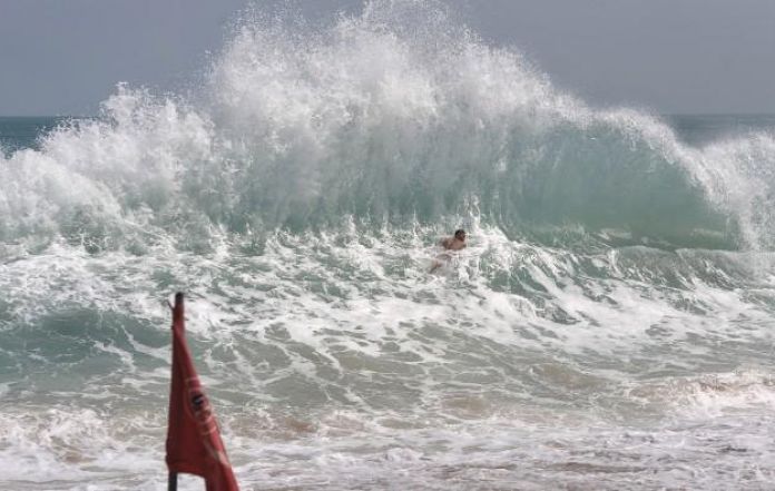
Waves in the southern Indian Ocean off Central Java and Yogyakarta could potentially reach a height of six metres, according to the Head of Meteorological Station Technician Group in Cilacap, Teguh Wardoyo.
“The high waves are the result of the wind speed increasing in the south of Java that is forecast to last for the next three days,” he added.
Based on their observations, the wind patterns in the northern hemisphere, around the equator, are generally from the East and the South and are at speeds of 3 to 15 knots. Meanwhile, in the southern equatorial region, the winds usually blow from the east to the southeast at speeds of 3 to 25 knots.
According to Wardoyo, the highest wind speeds were recorded in the waters of south of Java to Sumbawa, south of Sumba to Sawu island, and in the waters of Rotte Island to Kupang. The Indian Ocean south of Java and to the East Nusa Tenggara and the Arafuru Sea will also experience high wind speeds.
“Hence, we are issuing high-wave early warnings valid until Sunday 2nd June, as the height of waves in the southern waters of Central Java-DIY is forecast to reach 2.5-4 metres, while in the southern Indian Ocean of Central Java-DIY, the waves can potentially reach four to six metres,” Wardoyo remarked.
He also warned those who will be conducting activities within the sea area to exercise caution and be careful of the high speed winds and waves, especially the traditional fishermen and those in the shipping business. “If possible, fishermen are urged to not venture into the sea, as waves of over 1.25 metres high can be highly risky for small-sized vessels,” he cautioned.
Source: Antara News
Image: Netralnews.com


