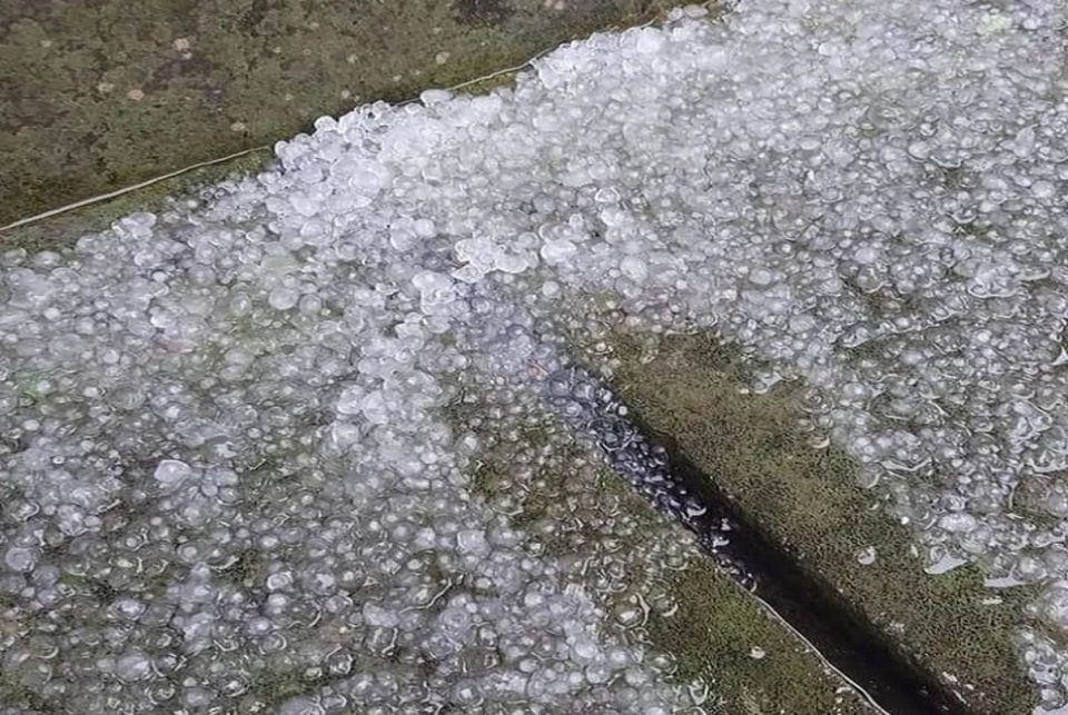
Hail was seen falling in the Kintamani area, Bangli Regency, Bali, and was captured on a viral social media video on Tuesday 1st February 2022.
The Head of the Emergency and Logistics Section of the Bangli Regional Disaster Management Agency (BPBD), Ketut Agus Sutapa, confirmed the incident occurred for only a few seconds at the beginning of the rain and the hail has now stopped.
He also said that there were no reports of damage in the incident because the ice grains were not hard when they landed. The hail phenomenon occurred unevenly throughout the Kintamani area and only in the Batur area.
The hail phenomenon had previously occurred in the Kintamani area, Bangli, on Friday 24th December 2021.
Head of the Regional Centre for Meteorology, Climatology and Geophysics (BBMKG) in Denpasar Cahyo Nugroho explained that “The hail phenomenon is a natural weather phenomenon that usually occurs and is included in extreme weather events.”
Short spells of heavy rain accompanied by lightning and strong winds mostly occur during the transition season from the dry to the rainy season or vice versa. Nugroho went on to say that the phenomenon of hail is caused by the formation of cumulonimbus (CB) clouds.
“In this cloud, there are three kinds of particles, namely water droplets, super cold water droplets, and ice particles. Thus, heavy rain which is still in the form of solid particles, either ice or hail, can occur depending on the formation and growth of the cumulonimbus cloud,” he added.
The process of ice formation occurs due to the strong movement of air masses and the very strong movement of going up and down of air masses. This process is known as strong updraft and downdraft in cumulonimbus clouds.
Then, the ice particles and super cold water particles will mix and stir due to the updraft and downdraft processes to form increasingly large ice grains. When the ice grains are too large, the upward movement of the air mass will no longer be able to lift them so the ice grains will fall to the Earth’s surface to become hail.
“This causes the ice grains that fall to the earth’s surface not to melt completely. The freezing level layer is a layer at a certain height above the earth’s surface. When the air temperature is zero degrees Celsius, at this altitude, water droplets will generally freeze into ice particles. In Indonesia, the freezing level is generally in the range of 4-5 km above sea level,” he continued.
Nugroho also said that rain can only be called hail if it meets the characteristics of hail. The area ranges from 5 to 10 km, the time is short of less than 10 minutes and occurs more often at the change of seasons.


