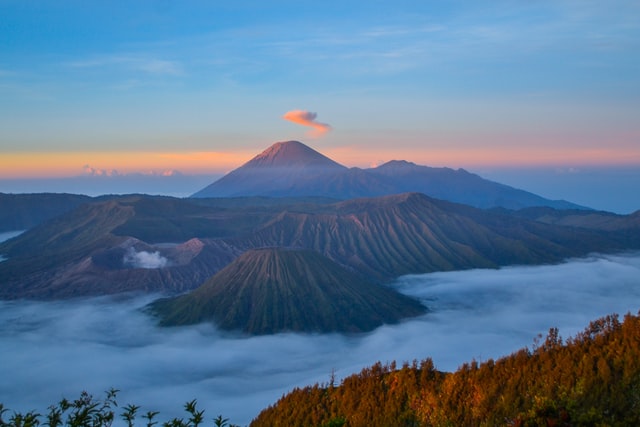
Mount Semeru’s hot clouds have occurred with a distance of approximately 4.5km on the evening of Saturday 16th January.
According to the National Disaster Management Authority (BNPB), a temporary visual observation report showed that dark grey smoke was sliding to the southeast which was thought to be coming from the Jonggring Kaloko crater. As for the volcanic ash rain, it is estimated to be directed north, adjusting to the wind direction.
“Mount Semeru is emitting hot clouds. With a distance of 4.5km”
The area around Sumber Mujur and Curah Koboa is currently a hot cloud avalanche point, explained Lumajang Regent Thoriqul Haq.
Regarding the status of the mountain, currently, Mount Semeru is still at level II or “Alert” and the Centre for Volcanology and Geological Disaster Mitigation (PVMBG) is conducting further evaluations.
Also Read Mount Semeru on High Alert with Volcanic Activity
Meanwhile, the people living around the villages of Sumber Mujur and Curah Koboan and the surrounding areas need to be vigilant in the face of potential disasters that can occur. The people around the Kobokan River Basin are urged to especially stay alert in the face of high rainfall intensity because it can trigger cold lava floods.
No casualties were reported at the time of publication.
Photo by Adrian Hartanto on Unsplash


