



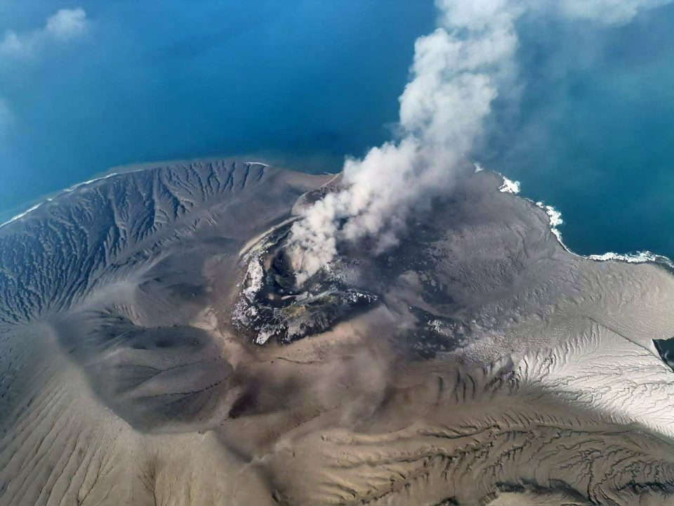
On Monday, the 7th of September, AirNav Indonesia updated aeronautical information regarding the operational status of several airports affected by the spread of volcanic ash from Mount Anak Krakatau.
The update took into account the spread of volcanic ash which, according to the Indonesian Agency for Meteorology, Climatology and Geophysics (Badan Meteorologi, Klimatologi, dan Geofisika or BMKG), has extended to the regions of Banten, Jakarta metropolitan area, West Java, Lampung, and Bengkulu. Moreover, as of Monday, the volcanic activity of Mount Anak Krakatau remains at Level III (Alert/Siaga).
Previously, Mount Anak Krakatau, which is located in Sunda Strait, erupted 14 times between Friday and Sunday (from the 4th to the 6th of September), with the most recent eruption recorded at 8.23 PM local time on Sunday evening. The latest eruption was recorded with a maximum amplitude of 58 millimetres and a duration of 44 seconds.
Based on the information updated by Class I Airport Authority Region I via Instagram on Monday morning, seven airports remain “closed“, with the closures estimated to last until 6 PM Western Indonesian Time the same day. These airports include:
- Soekarno-Hatta International Airport (CGK);
- Halim Perdanakusuma Airport (HLP);
- Radin Inten II Airport, Lampung (TKG);
- Husein Sastranegara Airport, Bandung (BDO);
- Budiarto Airport, Curug (RTO);
- Pondok Cabe Airport (PCB);
- Muhammad Taufiq Kiemas Airport (TFY).
“The temporary closure of the affected airports is a mitigation measure to ensure flight safety, taking into account the dispersion of volcanic ash in the airspace,” Hermana Soegijantoro, the EVP of Corporate Secretary at AirNav Indonesia, said as quoted from the press on Monday.
For the time being, the public is advised to stay updated with official information and to avoid approaching areas designated as danger zones, as the spread of volcanic ash poses a risk that requires caution while the eruption is ongoing. Ash drift patterns can shift with wind conditions, meaning that the affected areas may also change over time.